The alarm went off at 5 this morning, since we knew we were in for a hot morning and we were a little worried about getting hustled out of our spot by a ranger. We had the luxury of running water to do our laundry and flush toilets…all the conveniences of home.
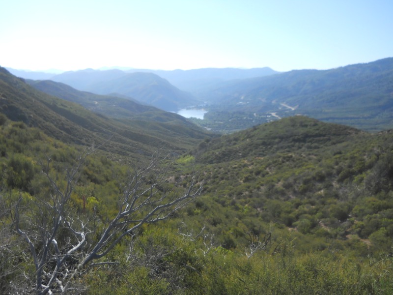
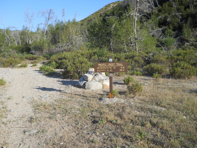
The trail started right off with a climb out of the reservoir basin. It was already hot and we were sweating buckets. As soon as we got to the top of the dividing ridge and started down the other side, we could feel the humidity drop. It was the opposite of yesterday when we climbed the ridge to the lake originally. As we started dropping down into Horsethief Canyon and losing altitude it got even hotter. A stream a mile later gave us the chance to wet down our clothes but it didn’t take them long to dry in the heat.
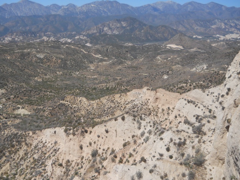
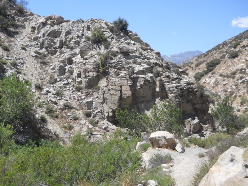
It was a slog…we started off making good time but as the temps went up our speed went down. We had over 13 miles to go to the McDonalds and the thought of cold drinks was the only thing that kept us going. After climbing out of the canyon we were treated to a sudden view of the desert floor, Cajon Pass, I-15, and the San Gabriel mountains we would be heading into. We had beautiful, badlands-like scenery as we wound our way down the skinny ridgetops.
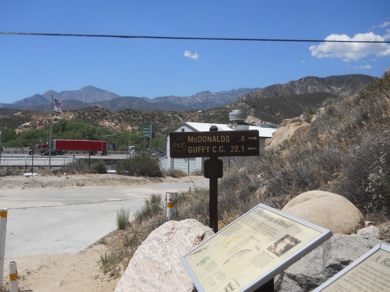
I finally reached the highway a while ahead of Keith, who moves a bit slower in the heat. I actually had cell service and was able to entertain myself and catch up on emails while I waited in the shade of my umbrella. After a while he came down the trail and we headed for the food, faster than we had moved all morning.
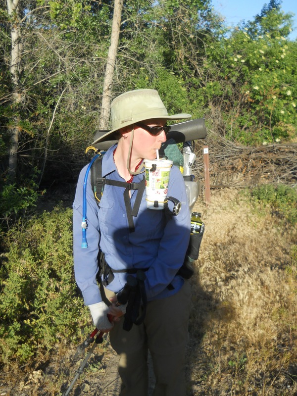
Many calories and cups of liquid later, we lounged around in the relative cool of the restaurant. Or plan was to kill a few hours and hike out in early evening. This was originally going to be around 5 but it was still stifling out. We moved to the hiker-packed spot of shaded grass between the restaurant and the convenience store, bought some drinks to carry back on the trail, and waited. Someone said the temperatures yesterday and today had been record-setting. Today it had reached 100 degrees. We had 22 miles to go until the next sure water source.
Finally, an hour later than planned, we headed down the “historic stretch of Route 66” (as our maps informed us) back to the trail. Instead of looking historic, it looked more like the dead-end major-freeway frontage road that it was. Trash was everywhere and as we walked we passed through a cloud of sulfury sewer smell. We couldn’t wait to get back out onto the trail – it’s not garbage-free, unfortunately, but it’s worlds better than this.
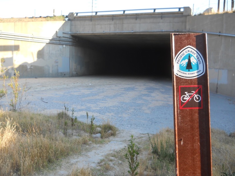
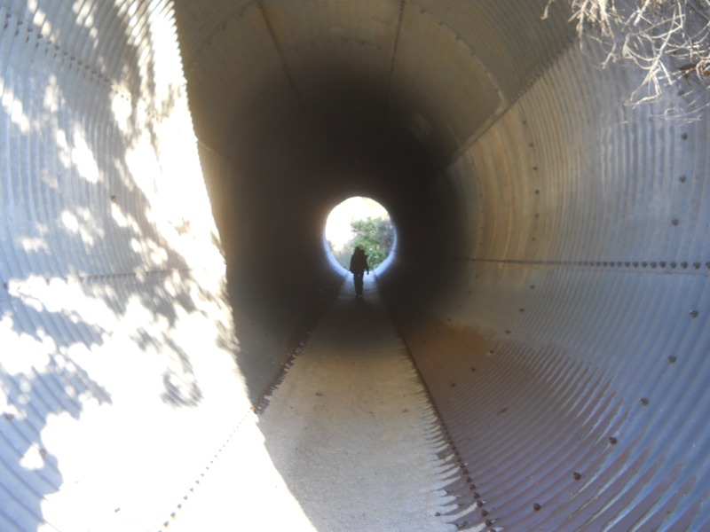
After passing through the creepy culvert that ran under the highway, we came out into a canopy of green. The area was marshy and a thicket of short, bright green trees had grown in. It was surprisingly pretty after the depressing road walk. Finding our way was a little tough but eventually we reached the ridges west of the highway. It was neat to look back and see how much smaller the freeway looked, and to know that we had walked under it a couple hours earlier.
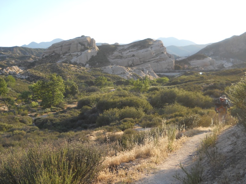
Giant upthrusts of rock jutted up from the ground at crazy angles. They sort of looked like the ones at Vasquez Rocks, a county park to the west of us that comes just before our next town stop. We would cross the San Andreas fault later that night so it made sense that the local geology was interesting.
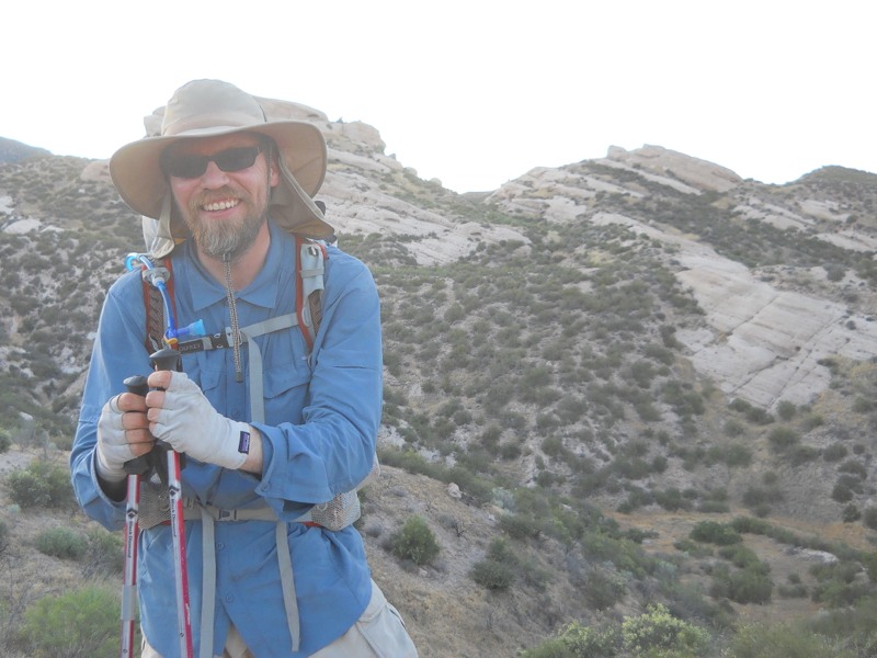
It was a relief to walk in the cool of the evening and we made good time. As it got dark we hiked past the Swarthout Canyon water cache and a bunch of hikers settling in for the night. We didn’t need any water since we had carried 5 liters each out of the pass…a satisfying feeling. We hiked on, aiming to reach higher elevations so we could avoid the heat of the morning. Since the moon was new it was pretty dark and we slowed down to avoid tripping over rocks. Hiking next to steep drop offs doesn’t bother me in the daylight, but doing it at night was unnerving. We got a lot of climbing done without using a lot of water – one of the advantages of night hiking. One of the disadvantages is that the big flying bugs come out and fly into your face in an effort to get to know your headlamp better.
Around 10:30 we found a bare spot just off the trail and set up camp. Not a moment too soon either, since a big group of hikers passed us a few minutes after we stopped. We’re on a bit of a slant so we’ll be sliding downhill all night, but it’s better than climbing another 500 feet. We can see the big curve where I-15 snakes east, lit up by headlamps on one side and break lights on the other. We must be under a major flight path because a plane comes over every minute or so. It’s strange to be in the wilderness and still so close to civilization.
– Posted from the PCT
Location:Pct mile 351
