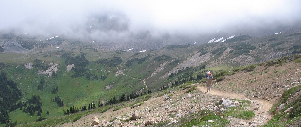
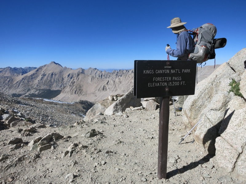
It was another early morning today. We had almost 13 miles to go before crossing Forester Pass at 13,000 feet. In a normal snow year this would put us in a tough spot. Hikers try to cross passes early in the day so the snow leading up to them is still hard enough to walk on. In a normal year we would be slogging through soft snow for a mile or more before the pass…but this year virtually all the snow has already melted.
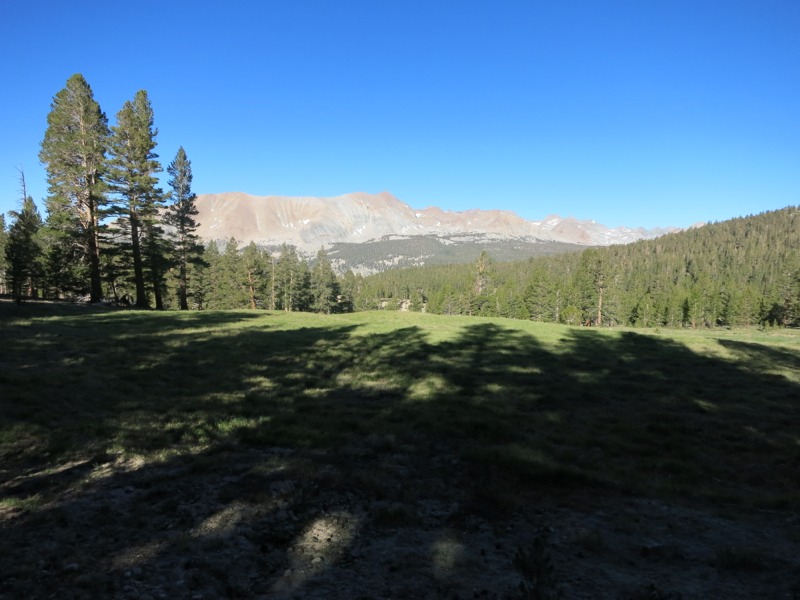
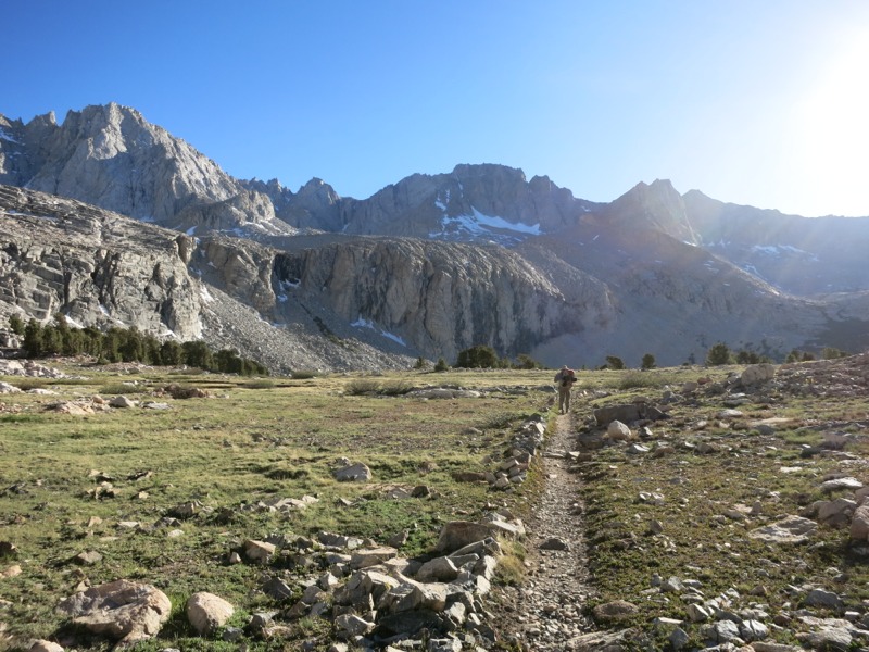
We left camp and came back to the junction with the John Muir Trail. Instead of heading east towards Whitney, we turned west and hiked back towards the PCT. We began climbing over a series of ridges and crossing the streams between them. It was a real change to pass a good water source every few miles and it let us carry less with us than ever before. We were climbing gradually overall and after a few miles we reached the Bighorn Plateau – a huge, open expanse above treeline surrounded by high peaks.


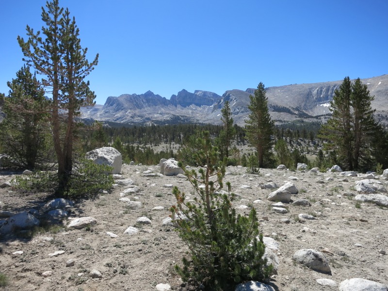
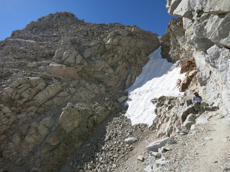
We headed north through the dried grass and up a narrower canyon to the left, beginning our approach to the pass. Since time was less of a factor we stopped for lunch to give us energy for the climb. We managed to find a spot out of the wind behind some boulders. While we ate we looked at the jagged wall in front of us and tried to guess which gap was the pass. I put my money on the one with a small streak of snow down the front.
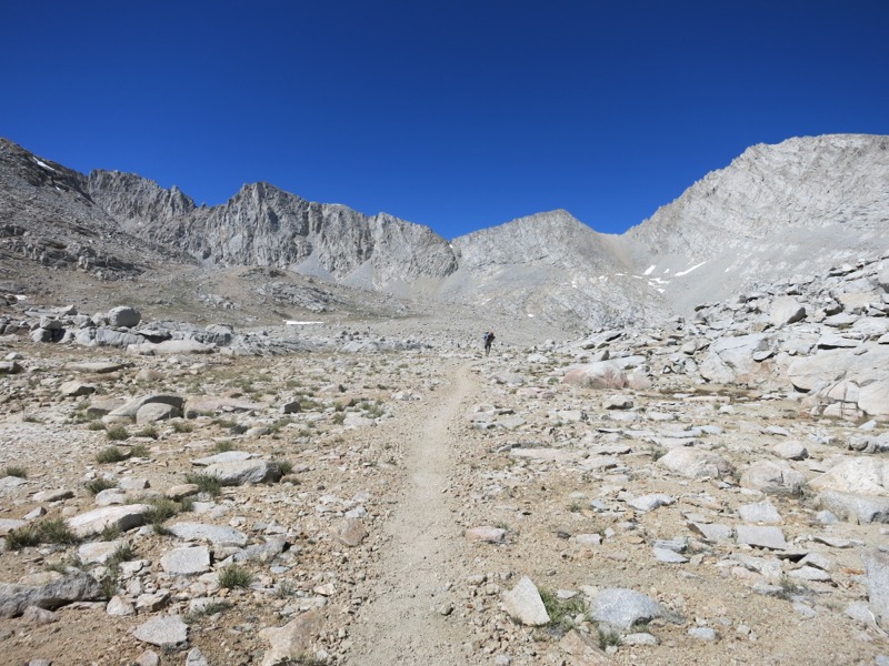
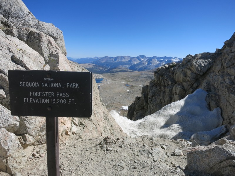
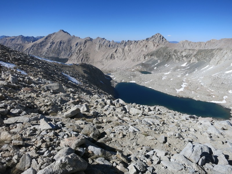
Back on the trail again, we started to climb up from 10,500 feet as we got nearer to the pass. We unexpectedly came up on a few glacial lakes. They were the source of the creek and drainage we’d been following for most of the afternoon. Finally we started up the switchbacks to the right of the pass. The trail itself was well graded and I was glad it wasn’t hidden under snow as they might be in other years. Before we realized it we were turning onto a wider switchback cut into the rock face – the final approach. At the end the trail cut to the right, into the rock chute under the pass, across the back (covered in snow) and then up some switchbacks on the other side before reaching the top.
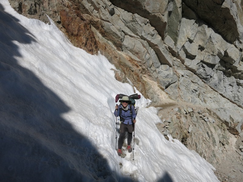
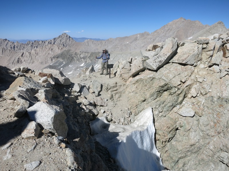
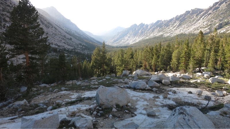
We crossed the snow bridge with no issues thanks to the deep tracks of hikers before us. It was much less intimidating than I’d expected but it was easy to see how more snow could make it terrifying. After navigating the switchbacks on the other wall of the chute, we came up to the top and stood looking into King’s Canyon national park. It was quite a view and surprisingly different from the land on the other side of the pass – a narrow, lush canyon sandwiched between towering granite ridges. The trail dropped into thick pine forest after passing through green meadows fed by wide creeks. The south side of the pass was a desert by comparison.

After lots of pictures we headed down the north side. In general there’s more snow north of the pass than south and this was true here too. In normal years many hikers slide down from the pass since the switchbacks are under snow but this year there was so little that we had to hike them. The snow we did cross was very soft, but the existing boot tracks were pretty reliable.

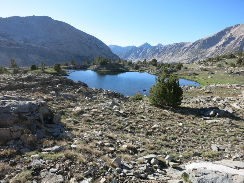
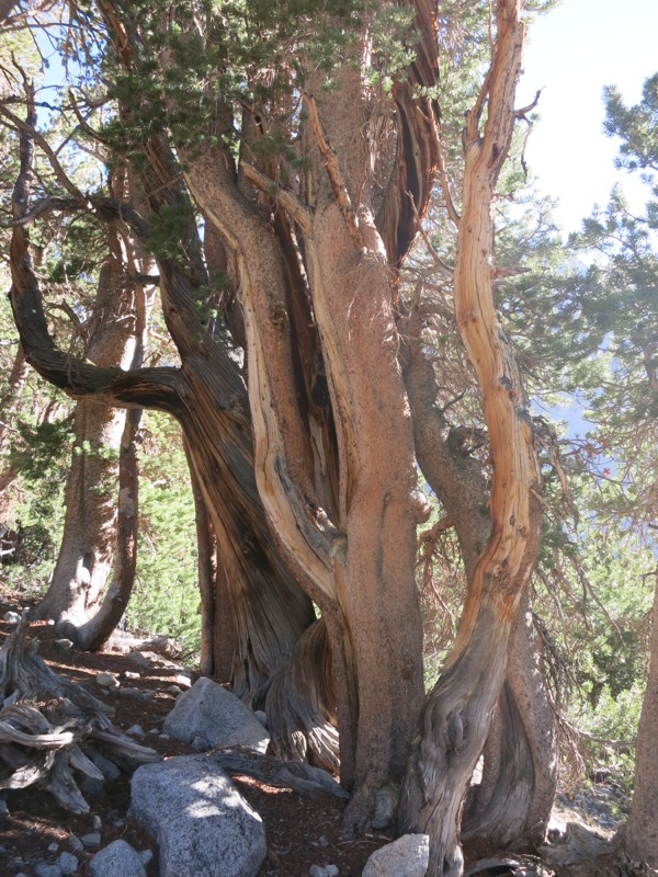
We dropped down away from the pass to make a few more miles. As we came closer to treeline again we started passing through beautiful miniature woods – stunted pines, tiny patches of alpine flowers, and little trickles of water. As we got closer to Bubbs Creek and our stopping point for the night the forest filled in around small clearings and lots of pale granite boulders. There were many nice campsites so when we found the clearing next to one of the bear boxes too crowded for our tastes we went another few minutes down the trail to a cozy spot further off trail.
This was one of the nicest places we’ve stayed yet. We could hear Bubbs Creek in the distance on the other side of the trail. The pale cliff walls behind us lit up with the colors of the sunset, glowing long after the bottom of the canyon had reached dusk. There were lots of mosquitos around but they weren’t biting badly and they disappeared as it got darker and colder out. We’re being extra careful about bears tonight – now that we’re getting into more popular areas they’re more likely to come sniffing around. Tomorrow is a town day. We’ll have about 12 miles to hike to reach the trailhead. Only 5 are on the PCT before we turn onto the Bullfrog Lake trail and go over Kearsarge Pass. It’ll be a steep day but it’s supposed to be incredibly beautiful.
– Posted from the PCT
Location:Pct mile 785