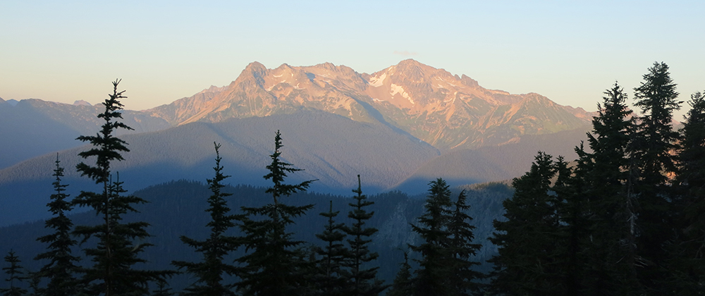
The night was so windy that we slept through our alarm, unable to hear it. We’re so close to the Mojave that it wasn’t a very cold breeze so it wasn’t as much of an excuse to stay in bed. It would be windy for most of the day – which, I guess, is a good reason to put wind farms in the desert.
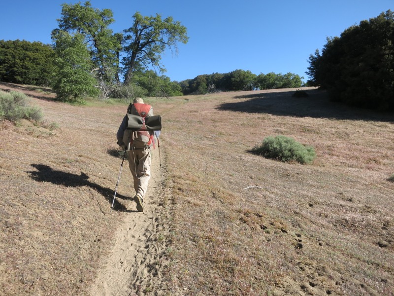
We started the day with a long descent off of the mountain ridge to Pine Canyon Road. We hiked through more open territory than we’re used to seeing, with actual oak trees, meadows and views down off the ridge. Before long we passed a horse camp 4 miles up the trail, which had been our intended camp last night since it had a picnic table. I think we got a nicer spot by stopping short when we did. More switchbacks brought us at last to the trailhead and the nearly-empty cache there. It’s a good thing we haven’t been relying on them so far. We stopped and took a snack break before pushing on to climb the last few ridges between us and the desert. This was not very hiker-friendly territory and we saw lots of signs from the local hunting club warning us to stay on trail. As though we had any reason to stray, with Hikertown, shade and water only a few miles away. The breeze kept the temperatures very comfortable as we did out last uphills for the next 15 miles or so.
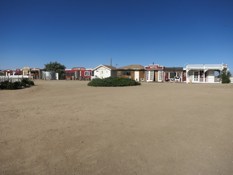
With 13 miles covered so far, we crossed Hwy 138 and entered Hikertown. This place totally reinforces the stereotype that eccentric people live way out in the boonies. It’s part old west town, part hostel. Hikers stay in the different “buildings” around town – city hall, the bunkhouse, the general store, etc. If someone has sent themselves a resupply box they can get it at the post office, of course. Add a bunch of chickens and dogs running around, and 30 or so hikers, and you get a real shock to the system. We were just glad to get off our feet. Someone was shuttling hikers to the convenience store up the highway so we were able to get sodas and snacks. The kitchen was cooking burgers and fries, which we topped off with some ice cream. I then topped that off with a short nap. All too soon the afternoon was waning, so we filled our water, collected our laundry and set off across the desert floor.
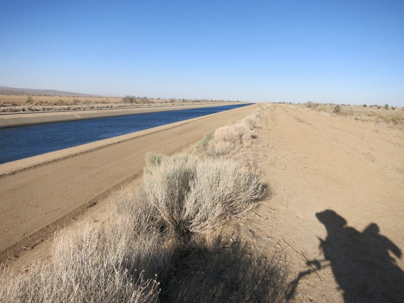
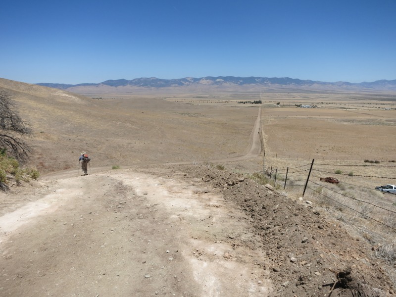
This is the flattest section we’ll hike on the trail. The reason we cross the desert instead of taking the Tehachapi mountains to the west is all due to one landholder – Tejon Ranch. For years the PCTA and the forest service negotiated with them to get right-of-way for the trail, but they wouldn’t budge. So instead of hiking in the hills under pines and past plentiful water sources, we hike in the desert under the sun with no natural water for miles and miles. A few years back it looked like they had finally reached an agreement to reroute the trail. This was a concession the ranch made in order to get approval on a housing/commercial development, though, and with the real estate market still dismal the whole thing is in flux. One way or the other it will be a long time before any PCT hiker sets foot in those mountains. Instead we follow the LA aqueduct for 10 miles or so. This is a whole other dispute, since it takes massive amounts of water from the valley east of the Sierras and routes it across the state for the LA valley’s use. Regardless of the morals involved, there was something hypnotizing about so much open water in one place after miles of desert. We haven’t seen anything like it since Silverwood reservoir before Wrightwood, 200 miles ago. We won’t see it again until the Kern River in another 200 miles.
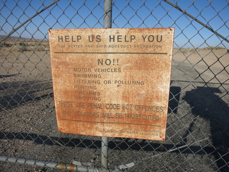
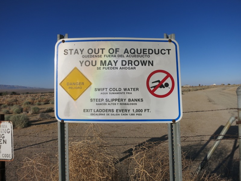
Unfortunately, after a mile or so the aqueduct was routed underground and we were left to follow a big pipe, and eventually a concrete slab along a dirt road. It wasn’t vey interesting trail but at least it was flat. The sunset behind the off-limits mountains was beautiful. As we walked Inge dusk and then full night we could see the lights of a big city to the east – possibly Palmdale. We also saw the blinking red lights of the same wind farm again. We were expecting to hike by the light of the nearly-full moon, but it didn’t rise until we made camp. We have about 5 more miles of flat road walk tomorrow before we start up into the hills. After that is the town of Mojave, and we’ll be in the Sierras a week or so after that. They’re finally close enough for me to start getting excited about them!
– Posted from the PCT
Location:Pct mile 529
