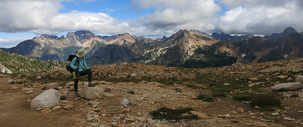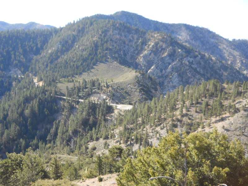
We started off a chilly morning by heading down to our third crossing of Hwy 2. This began the official endangered species detour, which runs over 20 miles on rough trail to bypass 4 closed miles of the PCT. This wasn’t too appealing, so we decided to take the old detour – continuing on the trail to the closed section, then road walking around it and an additional short stretch to where the trail met the highway.
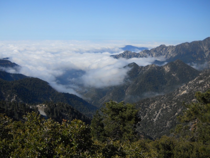
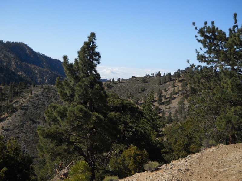
We set off from Islip Saddle and climbed up, and up, and up to a ridge. Our efforts were rewarded with great views. Lower-lying clouds had moved in overnight and the mountains rose out of them like islands. All too soon, we were headed down again to another crossing of the highway, and then back up and back down. Finally we reached Eagle’s Roost picnic area and the start of our road walk.
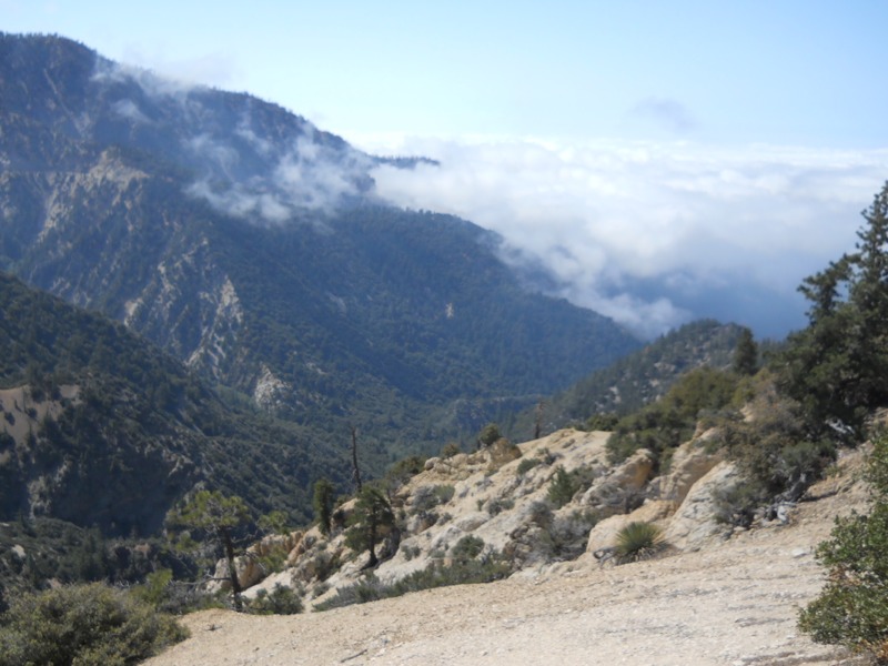
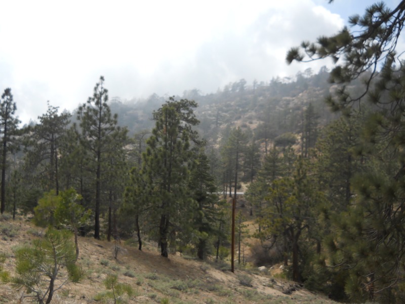
For being on a winding highway with narrow shoulders, the walk was surprisingly uneventful. There was very little traffic and we could hear it coming from a long way off. Cars were moving pretty slowly to get around the curves. As we walked the clouds drifted in with foggy fingers, just enough to feel eerie as we passed a few closed and rundown ski areas. Sooner than we expected, we reached the Buckhorn campground and our next water.
This campground was much more populated than the small forest camps we’ve been passing lately. Even on a Monday there were lots of people out. We got rid of some garbage and did some laundry, then headed back out. On the way back to the entrance a small dog came running out of a campsite behind us (off leash, of course) and bit me twice on the backs of my legs. Thankfully the fact that I was wearing pants helped to deflect it a little and they didn’t break the skin too badly. I would have some nice bruises later on though. The owner was apologetic but the damage was done. I was so furious that I wouldn’t even speak to her, afraid of what I might say or do, and we got out of there as fast as we could. At least it had been me and not one of the small children camping further up the loop. This isn’t the first issue we’ve had with off-leashed dogs while backpacking. What kind of idiot brings a dog that aggressive out in public and “forgets” to leash it? If only there had been a ranger nearby.
After that unpleasantness, we had a few more miles on the road before rejoining the trail. It wound down away from the highway for a mile or so before reaching Camp Glenwood, a Boy Scout camp. We joined Matt, Jamie, Rabbit, Lightning Rod and a few others here and had lunch. Everyone was feeling a sort of general malaise and debating whether to stay for the night. We knew we had to get a few more in, so we set off eventually.
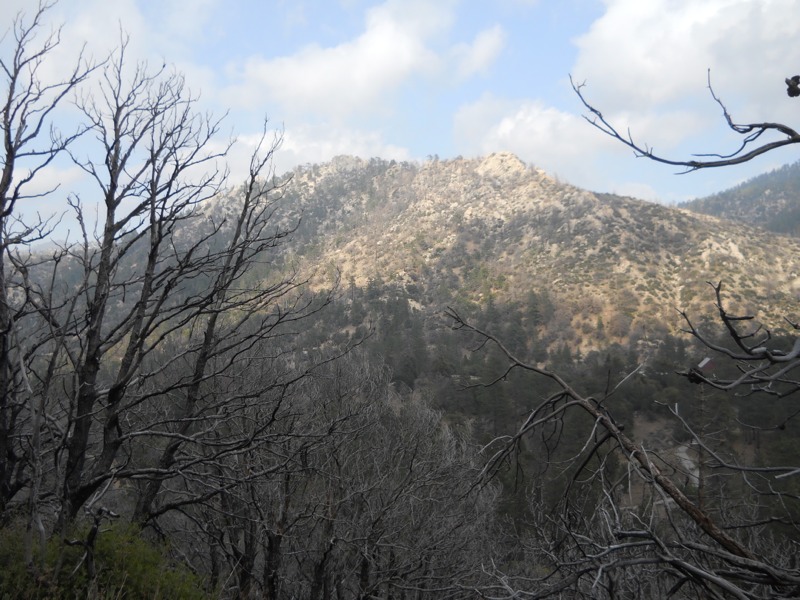
The fact that it was easy trail made it less difficult to leave. We followed old jeep roads off and on, and the sections that were actual trail were pretty flat. As we hiked we entered the Station Fire burn site and the trees around us became blackened and leafless. Poodle dog bush made a reappearance. It was easy to maneuver around now but we have a stretch coming up that will be more challenging. A few miles out from camp we came across a fruit cache and took a few pieces for breakfast. Always a nice surprise! During the last mile into camp we started seeing more desert plants again, a reminder that the next few days will be hot and water-constrained again. At least it’s still cool now – as we ate dinner at camp (at a picnic table!) it was still cold enough for us to shiver. Looks like it will be another cold morning.
– Posted from the PCT
Location:Pct mile 407
